

On 9 November 2026, Scientific Reports published a study that asks a question forest science rarely poses: what happens to the ocean when the forest goes. Seven researchers, among them three from Brazil's National Institute for Space Research, linked a hydrological model of the Amazon basin to a model of the western tropical Atlantic. They simulated the ocean over the period from 1992 to 2015, and then fed it the river flow of a different basin: a business-as-usual scenario for 2050 in which about forty-five percent of the forest has been lost.
The river changes first. In the scenario, discharge during the dry season falls by more than fifty percent in the southern tributaries and by about twelve percent at Óbidos, the gauging station on the main stem of the Amazon. Less fresh water reaches the sea in the months when the river is already at its lowest.
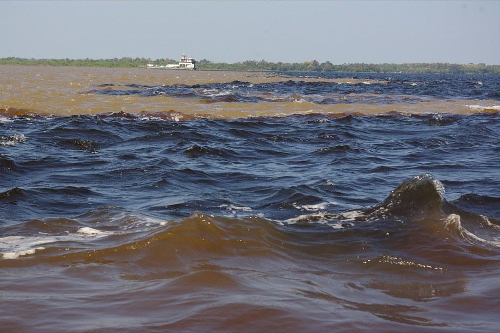
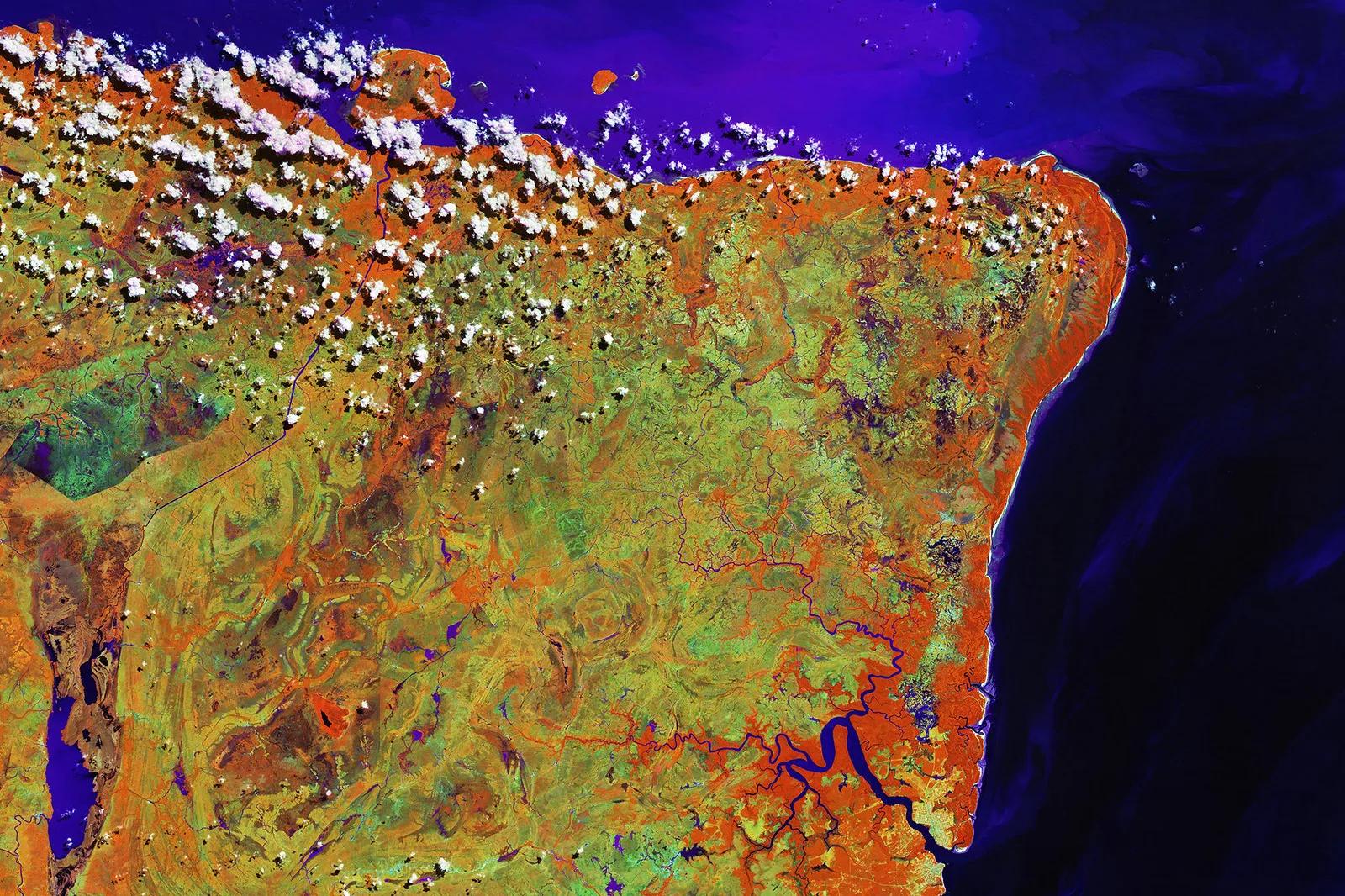
The quantity involved has no equivalent. According to an analysis published in Nature Geoscience in 2024 by Collins and colleagues, the Amazon basin discharges six thousand seven hundred and eighty-nine cubic kilometres of water a year, eighteen percent of everything the world's rivers deliver to the oceans, and holds about thirty-eight percent of the water present in the planet's rivers. At the mouth that water does not simply disappear into the Atlantic. It spreads across the surface as a plume of low salinity, lighter than the sea beneath it.
It is that plume the model alters. With less fresh water, surface salinity rises and the plume reorganises. The North Brazil Current and its retroflection, the loop in which the current turns back toward the east, intensify by about fourteen percent. The mixed layer at the surface deepens by up to six metres, and the barrier layer, the band of fresher water that separates the surface from the colder ocean below, thins by up to eight. The exchange of heat between sea and air shifts, and the surface warms by up to four tenths of a degree Celsius along the corridor of the retroflection and the North Equatorial Countercurrent during the northern summer and autumn.
The link between trees and river runs through the air. The forest returns water to the atmosphere, and that moisture accounts for roughly a quarter to a third of the rain that falls on the Amazon region, according to the literature summarised in Nature Ecology & Evolution in 2025. The authors' conclusion is stated without drama: sustained forest loss can drive persistent changes in the circulation and heat distribution of the upper tropical Atlantic.
It is worth stating precisely what this study is. It is a simulation of a scenario, not a forecast. By design it isolates a single pathway, the fresh water that the river exports, and leaves aside everything else that would change in a world with less forest. The scenario is not the present trajectory: in October 2026 Brazil's space research institute reported that clearing in the Brazilian Amazon over the twelve months to July had fallen to three thousand three hundred and thirty-five square kilometres, the lowest figure in its record. The changes in the ocean are measured in single metres and tenths of a degree. And nothing in the work apportions the effect to any particular hectare, country or property.
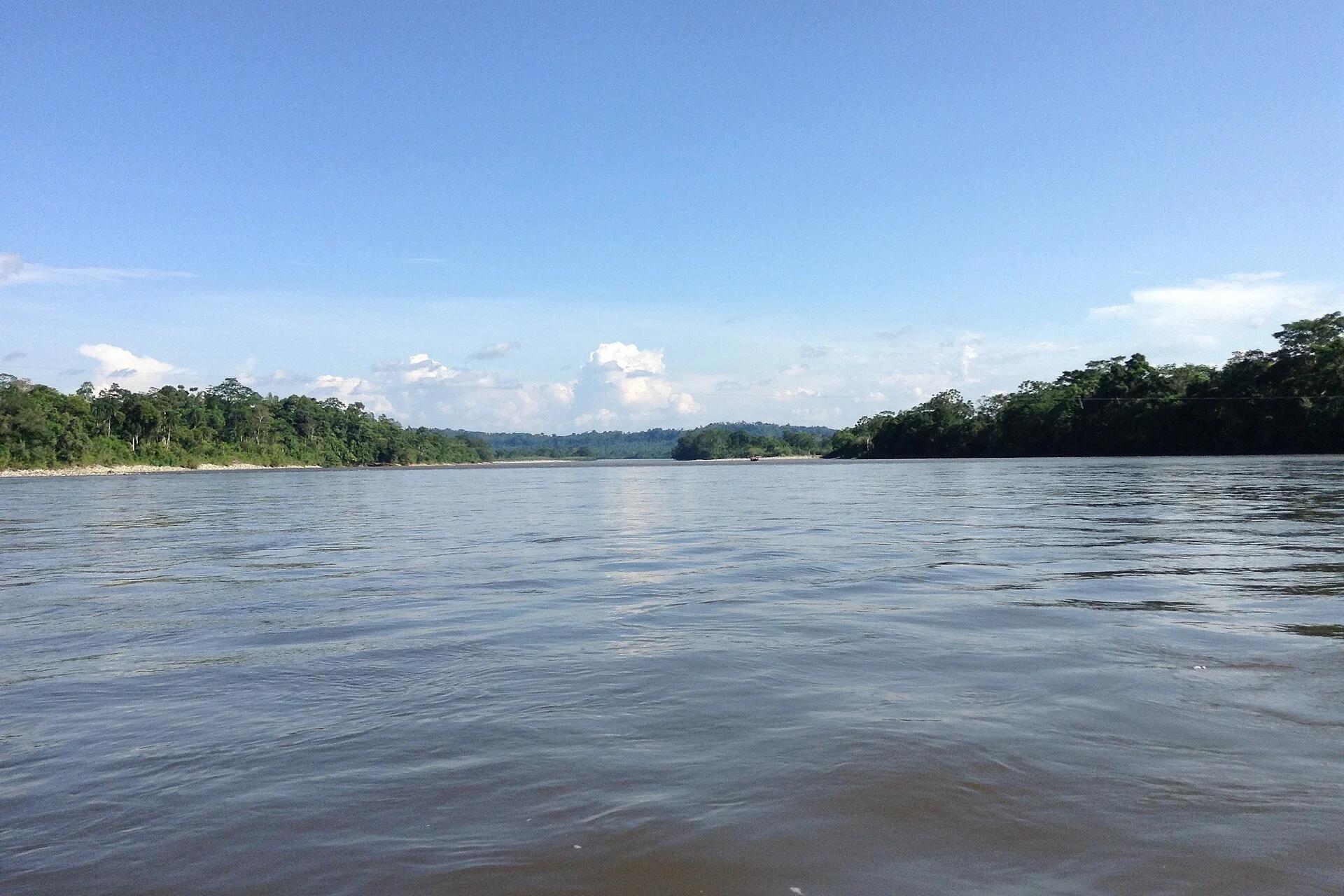
And there the reading reorders itself. A forest is usually accounted for inside a line: a boundary, a title, a national border, a figure in hectares. The study draws a different perimeter. The same basin that rises in the Andean foothills of Ecuador, Peru and Colombia registers, several thousand kilometres to the east, in the salinity of an ocean and the strength of a current. The function of the forest does not stop where the forest does. What a hectare of intact cover does is done, in part, a long way downstream of it, for parties who have never seen it and do not pay for it.
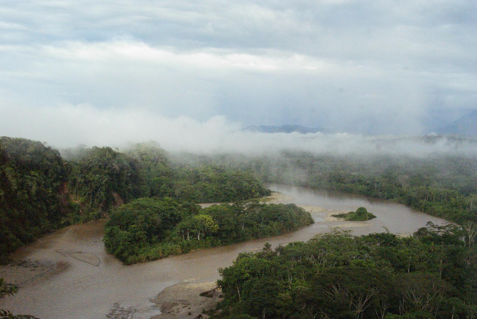
That is the premise behind Hortus Deliciarum in the Ecuadorian Amazon: securing primary forest under title and long-term custody is not philanthropy. It is holding a working part of a system at its western headwaters, where the water that ends in the Atlantic begins. If the function of a forest can be read in the sea, where does the asset end? The documentation is at www.hortusdeliciarum.org
SOURCES
Peer-reviewed research — de Almeida Gouveia, N., Wongchuig, S., Espinoza, J.-C., Aragão, L. E. O. C., Paes, E. T., Santos, R. B. and Gherardi, D. F. M., "Projected Amazon forest loss alters tropical Atlantic circulation and surface heat exchange through reduced freshwater input", Scientific Reports (9 November 2026), doi 10.1038/s41598-026-79941-w; Collins, E. L. et al., "Global patterns in river water storage dependent on residence time", Nature Geoscience 17, 433–439 (2024), doi 10.1038/s41561-024-01421-5; Sanchez-Martinez, P. et al., Nature Ecology & Evolution (2025), introduction, for the share of rainfall attributed to evapotranspiration. Official data — National Institute for Space Research of Brazil (INPE), PRODES annual deforestation figure for the twelve months to 31 July 2026, as reported by Mongabay in October 2026. Methodological note — Only the abstract of the Scientific Reports study was read; its methods and limitations sections were not. The river discharge figures from Collins et al. were taken from the summary published by NASA Earth Observatory and refer to the period 1980–2009. The descriptions of the river plume, the retroflection and the barrier layer are standard oceanographic definitions added for the reader and are not quotations from the study. The INPE figure covers the Brazilian Amazon only, which is about sixty percent of the biome. Photo credits — Cover, mouth of the Amazon from orbit: NOAA Satellites, public domain. Meeting of Waters: Nao Iizuka, CC BY 2.0. Marajó and the Amazon estuary: European Space Agency, contains modified Copernicus Sentinel data, CC BY-SA 2.0, cropped. River in the Ecuadorian Amazon: Dallas Krentzel, CC BY 2.0. All four via Flickr. Napo River: MusikAnimal, CC BY-SA 4.0, via Wikimedia Commons, cropped.
© Hortus Deliciarum Strategic Conservation | Amazon
This document is provided for informational purposes. Data and findings are sourced from peer-reviewed research, government records, and verified scientific publications.